 |
| Look for the Red Trail Markers |
The Esker Trail is the longest trail in Needham's Ridge Hill Reservation, running along the top of the esker that gives Ridge Hill its name. In the past the trail ended in a set of confusing spurs, many leading to private property.
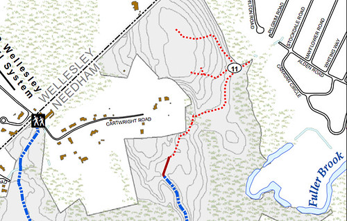 |
| The Esker Trail branched into spurs at Trail Marker 11 |
Thanks to the work of Needham Trails folk and the Conservation Commission, the Esker Trail now ends in a loop with a significant extension that comes close to the Wellesley border.
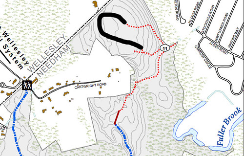 |
| My rendering, not intended to be cartologically accurate. |
This makes walking the whole Esker Trail much more enjoyable--less backtracking. And it provides access to the upper sections of the gas line easement, which crosses private property around Cartwright Road.
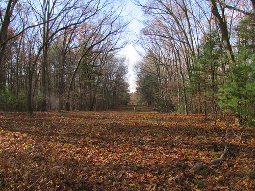 |
| Algonquin Gas Line Easement, looking to the south-west. |
I wasn't able to participate in the blazing of the new trail segment so I was able to try it out as a naive hiker.
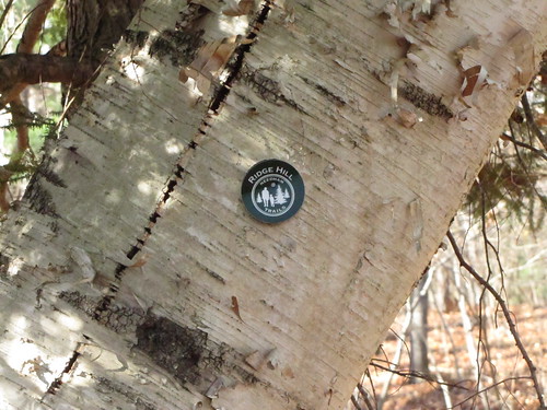 |
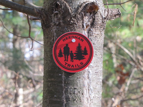
| Ridge Hill marker on giant birch tree |
The loop begins around trail marker #11, though not directly at it (as the maps above might suggest). An enormous birch tree is a suitable landmark for the loop's start. I took the path to the right. It leads up the side of a hill through some lovely wooded (and rather birdy) areas. After crossing the easement the trail continues to the Wellesley border. (If you find yourself at the Wellesley Recycling and Disposal Facility you've gone too far). Look for a trail that branches off to the left, marked by pink ribbons.
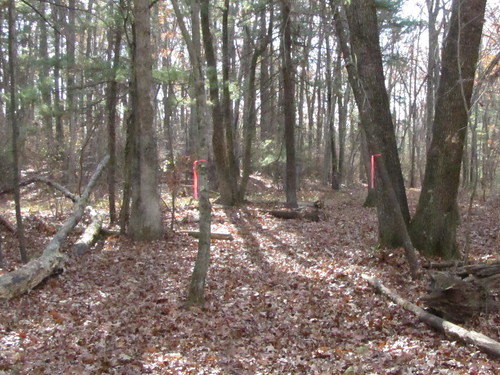 |
| Pink ribbons mark the trail extension |
The trail loops around, crosses the easement again, and then ends at the intersection of a trail leading to the left and the right.
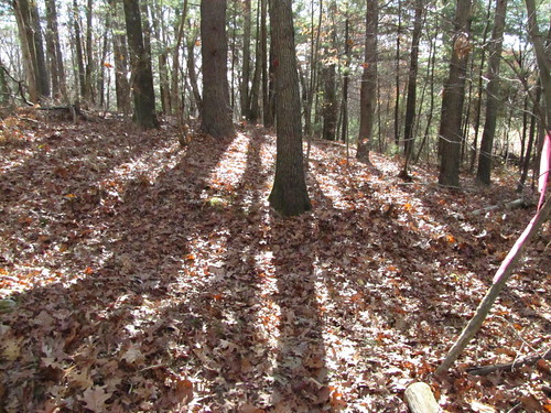 |
| Go to the left |
Here there is no obvious sign of which way to go, though a little logic would suggest the loop continues to the left, and that would be correct (going to the right leads to private property). Not far away you will come to the enormous birch and the end of the loop. Enjoy!
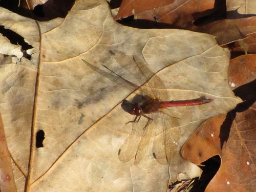 |
| One of many late autumn dragonflies I disturbed on my walk |
